


Local Forecast
Laurel Area
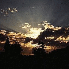
![]() TONIGHT
TONIGHT
Tonight Mostly cloudy. a chance of showers and thunderstorms this evening, then a slight chance of showers after midnight. some thunderstorms may be severe with damaging winds. lows in thelower 70s. west winds 5 to 10 mph. chance of rain 40 percent.
![]() FRIDAY
FRIDAY
Friday Mostly sunny. a slight chance of showers in the afternoon. hot with highs in the upper 90s. west winds 5 to 10 mph. chance of rain 20 percent.
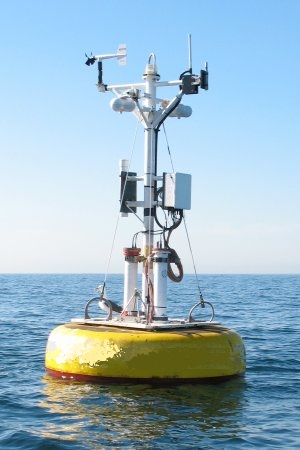
Visibility: 10 mile(s)
Cloud Base Height: 2603
Record readings this month:
Coldest Day 69.1°F on: Jun 02 2026
Coldest Night 56.0°F on: Jun 09 2026
Warmest Day 87.4°F on: Jun 11 2026
Warmest Night 76.8°F on: Jun 08 2026
Record readings this year:
Coldest Day 17.8°F on: Jan 30 2026
Coldest Night 11.1°F on: Jan 31 2026
Warmest Day 87.4°F on: Jun 11 2026
Warmest Night 76.8°F on: Jun 08 2026
Trends:
Temperature change in the last 24 hours: +13.4 °F
Humidity change in the last 24 hours: -27 %
Wind change in the last 24 hours:+2.3 mph
Rain change in the last 24 hours: 0.010 .in
Barometer change in the last 24 hours: -0.060 .in
New Moon 20:02 UTC May 16 2026
First Quarter 11:12 UTC May 23 2026
Full Moon 08:46 UTC May 31 2026
Last Quarter 10:01 UTC June 8 2026
Phase 14%

Currently 0 consecutive days without rain