


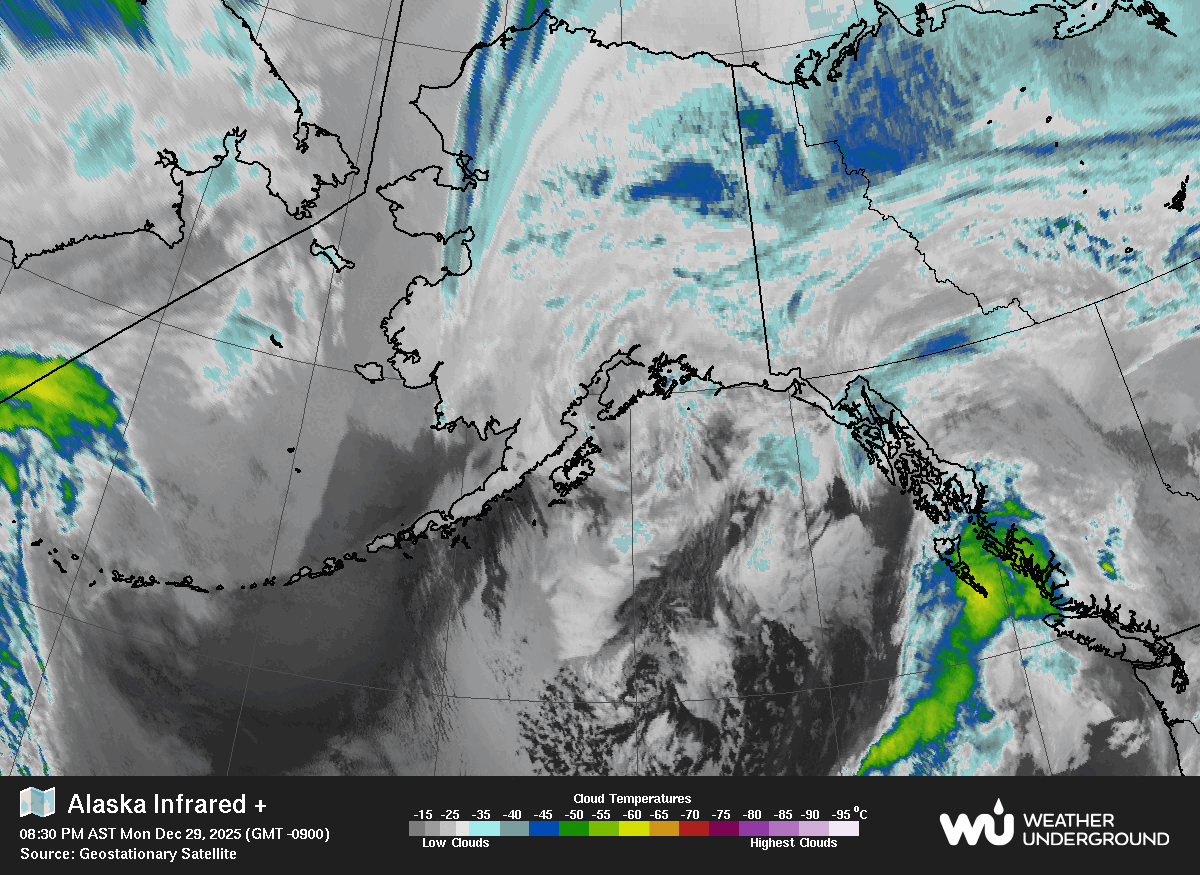
Local Forecast
Skagway Area

![]() TODAY
TODAY
Today Mostly cloudy. chance of rain in the morning, then rain in the afternoon. highs in the upper 50s. south winds 10 to 20 mph.
![]() TONIGHT
TONIGHT
Tonight Rain. lows in the lower 50s. south winds 10 to 20 mph.
Visibility: 10 mile(s)
Cloud Base Height: 1635
Record readings this month:
Coldest Day 44.6F on: May 09 2026
Coldest Night 42.3F on: May 08 2026
Warmest Day 62.5F on: May 25 2026
Warmest Night 56.4F on: May 26 2026
Record readings this year:
Coldest Day 2.7F on: Jan 04 2026
Coldest Night 3.2F on: Jan 05 2026
Warmest Day 62.5F on: May 25 2026
Warmest Night 56.4F on: May 26 2026
Trends:
Temperature change in the last 24 hours: +1.1
Humidity change in the last 24 hours: -13 %
Wind change in the last 24 hours:0.0 mph
Rain change in the last 24 hours: 0.020 .in
Barometer change in the last 24 hours: -0.050 .in
New Moon 20:02 UTC May 16 2026
First Quarter 11:12 UTC May 23 2026
Full Moon 08:46 UTC May 31 2026
Last Quarter 10:01 UTC June 8 2026
Phase 97%
Currently 0 consecutive days without rain